Sunday, January 14, 2024
HAL Grand Australia & NZ Cruise
This is a cool map of Oceania:
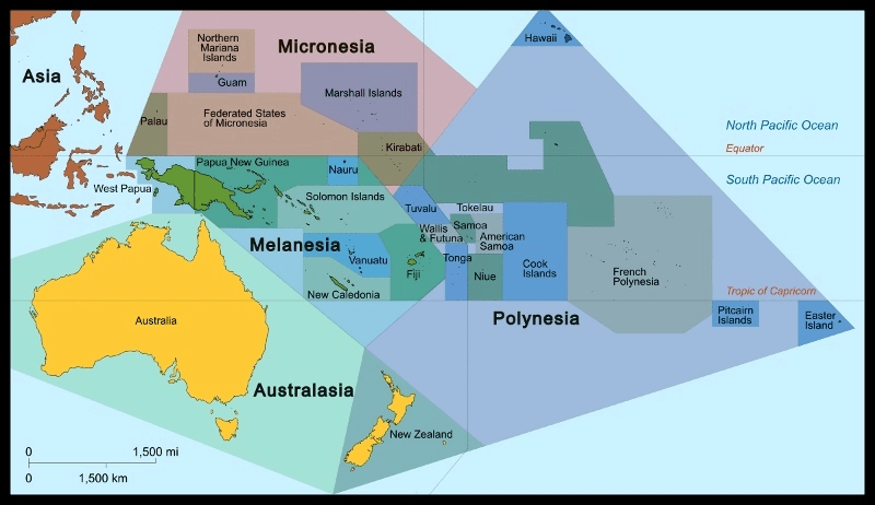
(Map of Oceania based on the United Nations geoscheme M49 coding classification devised by the United Nations Statistics Division source: Oceania_ISO_3166-1.svg: User:Tintazul
derivative work: Cruickshanks Creative Commons Attribution-Share Alike 3.0)
There are 4 island-groupings that comprise this geographic region: Polynesia, Micronesia, Melanesia, and Ausralasia.
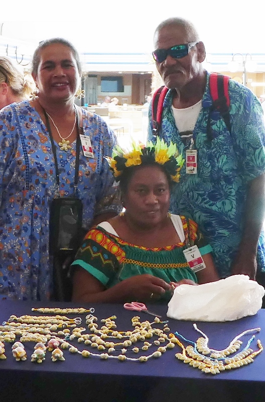
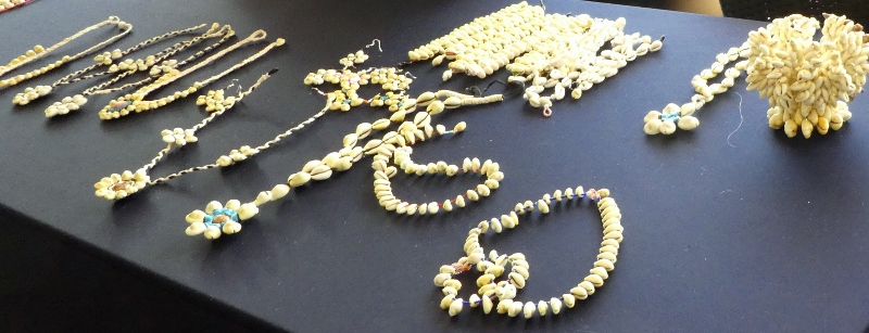
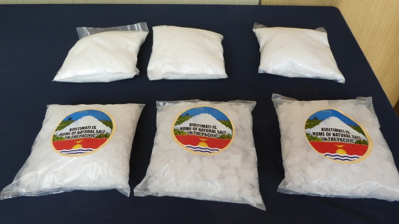
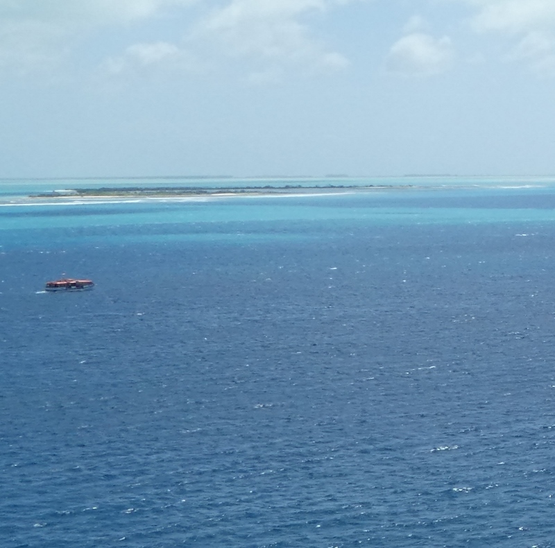
Currently, we are exploring these areas, and it is our pleasure to tell you all about our discoveries!!! On this cruise, so far, we have visited Polynesia and, just recently, Micronesia. Our last scheduled port of call: Fanning Island, a part of the Line Islands of Kiribati, was cancelled due to the island’s manning issues. We went to Kiritimati (formerly Christmas Island) instead. We had read that Tony’s Take-Away was the best place on the island for lunch. We were looking forward to French Fries and beer for our afternoon libation!!! Now, you’re gonna love this: our clearance to disembark in Kiritimati was delayed because—wait for it!!!—the authorities had manning issues!!! But that isn’t all. The problems continued. Even though a local marine pilot was on board the first tender to blaze the trail across the shallow waters, most of the tenders got caught up on sand bars!!! Our turn to board a tender was cancelled when the captain announced that further transfers would not take place and those on shore would be brought back to the ship as soon as possible!!!
We were late departing the waters of Kiribati.
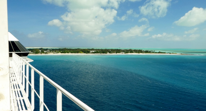
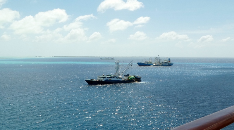
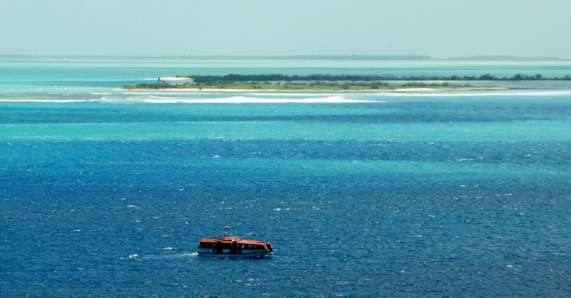
Here are some photos of Kiritimati Island:

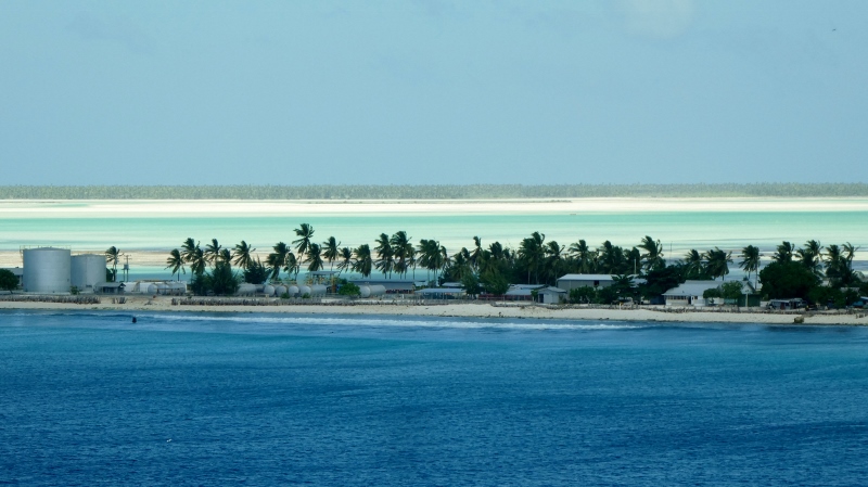

Now, we are on our way to American Samoa (back in Polynesia) where we will visit the capital city of Pago Pago on the island of Tutuila. We have been there before and do not anticipate any further drama!!!
We will, of course, tell you all about the next adventure!!!
See you later!!
